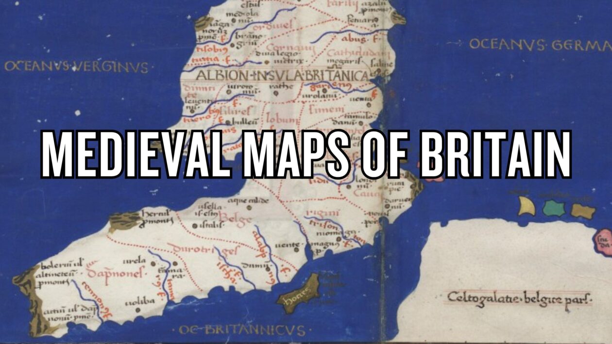
Explore 10 medieval maps of Britain—from early mappae mundi and Ptolemaic charts to portolans, the Gough Map, and the Catalan Atlas—revealing how England, Scotland and Wales were drawn in the Middle Ages.
#geography#maps

Medievalists.net
Where the Middle Ages Begin